Start outside the venue boundary
A stadium map often begins at the gate, but your access requirements do not. Start with the station exit, parking bay or drop-off point you actually intend to use. Check the connection to the public pavement, the crossing arrangements and any section managed by a different organisation. A venue may know its own concourse well while having incomplete information about roadworks nearby.
For large sites such as Wembley Stadium, Stade de France or the Stade Roland-Garros complex, a named entrance is more useful than a pin at the centre of the site. These are examples of places where precise venue information matters, not venues we have audited. Confirm the event-specific entrance with the venue rather than treating a general map as permission to use any gate.
Ask what “step-free” leaves out
Step-free describes the absence of steps on a route; it does not describe everything that makes the route usable. Long gradients, crossfalls, uneven paving, loose surfaces, narrow turning spaces and heavy doors can still be significant. A route that suits a powered wheelchair user may be tiring for someone walking with pain or using a manual chair.
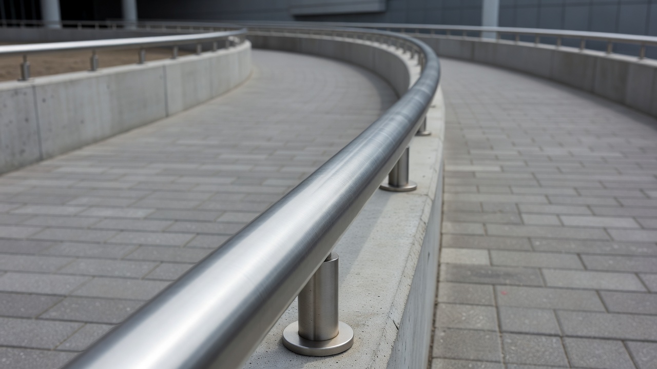
Look for measured clear widths, slope information, surface descriptions, distances and opportunities to rest. If a number appears, ask what it measures and how it was collected. A nominal doorway width is not necessarily the clear opening available when the door is in use. “Gentle slope” is a judgement; a documented measurement gives you more control over your decision.
Separate observations from predictions
AI can extract possible doors, ramps and route connections from images or plans. It can also help combine a venue inventory with inspection notes. Those tasks may reduce manual work, but an image classifier cannot reliably establish every gradient, obstruction or operating condition. A photograph can miss the heavy door just outside the frame.
A good interface distinguishes a measured attribute from a staff report, a visitor observation and a model inference. Ask whether the tool shows the source and date beside the feature. A model’s confidence score concerns its prediction under particular conditions; it is not a personal assurance that you can use the route.
Check entry and vertical circulation
The entrance is an operational step, not simply a doorway. Find out whether you need a separate security lane, where a companion should go and how mobility equipment is handled. If you need to discuss a medical item, ask for the venue’s current procedure without sharing unnecessary medical details with a mapping platform.
For every lift-dependent section, check the lift location, serving floors and availability during your arrival window. Consider whether queuing space and the approach to the lift meet your needs. An alternative lift is only an alternative if you can reach it from the same side of security and it connects to your ticketed area. Staff assistance may help, but should not be silently substituted for an independently usable route.
Understand the routing priorities
A shortest-path calculation may optimise distance while overlooking your priorities. You may prefer a longer route with fewer slopes, more rest points, less crowding or no lift dependency. Ask which preferences the system actually supports and whether missing data can cause a route to be excluded—or incorrectly included.
The OpenStreetMap community documents features such as wheelchair access and kerbs, while the U.S. Access Board’s ADA guidance and ISO 21542 address built-environment accessibility in different contexts. These resources can inform questions, but they do not certify a particular European venue or replace applicable local requirements. Do not assume that matching a map label means a site meets every relevant standard.
Plan for leaving as carefully as arriving
After an event, pedestrian controls, station access and vehicle collection points may differ from the arrival arrangements. A route that was quiet beforehand may become congested. Ask whether lifts remain available, whether a waiting area exists and how to contact assistance after the match. Make sure your companion or transport provider knows the same collection point.
Keep a short route summary offline: arrival location, entrance name, lift dependency, seating level, relevant facilities and the venue’s contact channel. Before travel, request confirmation of anything essential or uncertain. If a lift fails or conditions do not match the description, stop and seek a confirmed alternative rather than following an algorithm into an unsuitable route.
Next: facilities along the way →